We pledge to provide our clients with the very best solutions to achieve their goals and to increase the value of our clients’ assets and investments through the intelligent application of technology
New Housing Najeera
Executed topographic mapping and precision mapping for a 500-acre land optimization project.
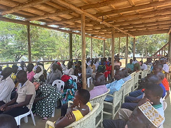
Tongolo is a village in Buikwe District near Jinja where several development projects are being implemented.
In this context, Project Affected Persons (PAPs) refer to individuals and households whose land, assets, or livelihoods are impacted by project activities.
As required by government and development partners, PAPs are identified, documented, and supported through compensation and livelihood restoration measures. Geospatial is the surveying partner on this project.